


 Login
Login
Bus Stop
PROPERTY > RESIDENTIAL > Accessibility & Transport > Bus Stop
| where "1" is the farthest distance from the Bus Stop and "3" the closest distance from the Bus Stop |
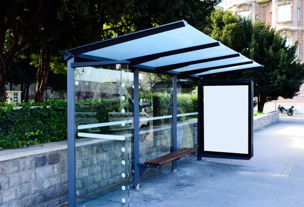
🚌 Bus Stop Index
Topic: Property | Category: Residential | Group: Accessibility & Transport**
Description
The Bus Stop Index describes how close a property is to the nearest bus stop.
What the Index Measures
Measures distance to the nearest bus stop.
- Higher scores = closer bus access
- Lower scores = limited bus convenience
Numeric Scale & Quality Interpretation
Same tiered scales.
Accuracy: Larger scales capture meaningful differences even in areas with many buses.
Examples:
- 18/20 = excellent bus connectivity
- 6/20 = moderate transit support
Why Numeric Scales Matter
Bus access is essential for non-metro cities, students, and low-car environments; numeric scales make the comparison fair and objective.
How This Index Saves You Time
Instead of manually checking routes, the score summarises bus access instantly.
AI Insight Example
“This home falls in the top 12% for bus accessibility in its zone.”
Subscription Callout
Same tier access as all Index Toscale metrics.
CTA
➡️ Filter properties by Bus Stop Index →